New: Boost Your Preparation!
On our site, you'll now find our new PRO Simulation Panel! Here are some of the exclusive benefits you get by unlocking it:
You can still continue with the free version, which gives you access to 75% of the questions with a limit of 3 simulations every 2 hours.
Upgrade to the PRO version to practice without limits and unlock all features for a complete preparation.
...and much more!
📱 Or discover the Apps to study offline too MENU
MENU EN
EN 
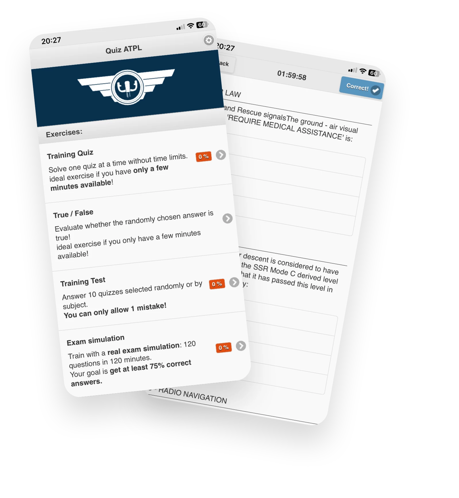
 Exam Questions
 Training Quiz
 Exam simulation
 PDF Exam
 Contact Us
 Prices
 Are you a school?
 App Mobile