Welcome!
This website offers free access to 75% of the official exam questions.
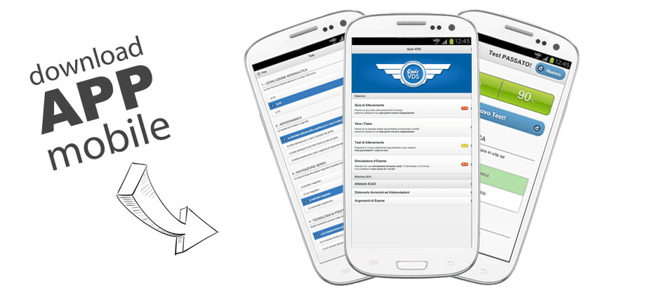
Want to prepare even better and access all the available questions? Download our mobile app now and get the complete database to maximize your chances of passing the exam!
Check out the mobile app here
Don’t miss the chance to have all the material always at your fingertips, wherever you are, even offline and without any kind of advertising!
IT
ES
DE
FR
QuizVds.it - Facebook - Contact Us - Donation - Cookie Policy - Privacy Policy - Terms and Conditions - Partner
 EN
EN 